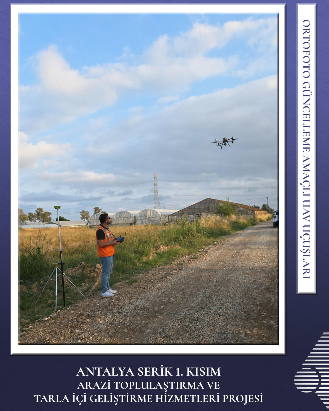


Engineering work and road construction are progressing at full speed under the “Antalya Serik Phase 1 Land Consolidation and On-Farm Development Services Project.”
We carry out UAV aerial photography and orthophoto map generation to precisely monitor manufacturing processes and field transformations. These digital tracking processes ensure high data accuracy in field operations while significantly boosting project scheduling and efficiency. By recording the transformation in agricultural infrastructure through modern mapping technologies, we continue to support agricultural production.