
Baymap Aviation is at Your Service…
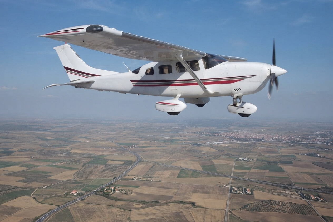
Körfez Engineering Surveying has been carrying out operations in various engineering projects in areas such as Aerial Imagery, Aerial LIDAR Scanning, R&D and Test Flights of Cameras, with its own flight management, coordination and pilotage team within KORFEZ GROUP since 2010.
KORFEZ GROUP;
-
- In Turkey’s 300+ Pioneering and Critical Engineering Projects,
- Abroad; In the geographies of Saudi Arabia and Azerbaijan,
- With 10,000+ hours Flight Time
- 1.4 Million+ km Project Flight
Our Services
- Aircraft Rental
- Aerial Photogrammetry Equipment Rental
- Turnkey Photogrammetry Projects
- Flight Planning
- ULTRACAM X and PHASEONE IXM-RS150F Aerial Camera Options
- RGB Image Acquisition
- Infrared (CIR&NIR) Image Acquisition
- Air LIDAR Laser Scanning
- FMS and GPS/IMU Support
- Hyperspectral Image Acquisition
- Thermal Mapping
- Aerial Vaccination Projects
and more…
Hardware & Software
- TC-KRF – Cessna T206 H Piston Engine Airplane
- ULTRACAM X – Large Format Multispectral Aerial Camera
- PHASEONE IXM-RS150F RGB Aerial Camera
- SOMAG AG JENA GSM 3000 Mount
- APPLANIX Flight Management System
- DELL POWEREDGE R730 Server
- 250 TB NETGEAR & QNAP Online Storage Unit
- 250 TB Offline Storage Unit
- HP Z820 Workstations
- Stereo Photogrammetric Workstations
- Desktops and Laptops
- TRACKAIR Flight Planning Software
- APPLANIX+POSPAC MMS Flight Management Software
- ULTRAMAP Photogrammetry Post-Processing Software
- iX CAPTURE Photogrammetry Post-Processing Software
Gallery


