Skip to content
Türkçe
English
Dil
Facebook page opens in new window
Twitter page opens in new window
Instagram page opens in new window
Linkedin page opens in new window
YouTube page opens in new window
Search:
Körfez Haritacılık Planlama Ltd. Şti.
Home Page
Corporate
President’s Message
Company Profile
Korfez in Brief
Who Are We?
Organization Chart
Our Values
Our Quality – Environment – OHS Policy
Services
Photogrammetry
Geographical Information Systems
LIDAR
Cadastral Applications
Land Consolidation
Aerial Image Acquisition
Geodesy
Expropriation
Zoning Application – Planning
Projects
Completed Projects
Photogrammetry & GIS & LIDAR Projects
Cadastre Projects
Land Consolidation Projects
Aerial Image Acquisition Projects
Other Projects
Digital Map Production Projects With Terrestrial Methods
Expropriation and Application Projects
Zoning Plan Implementation Projects
Meadow Border and Applications Projects
Route Analysis Projects
Address Information System Projects
Other
Ongoing Projects
References
News
Human Resources
Contact
Home Page
Corporate
President’s Message
Company Profile
Korfez in Brief
Who Are We?
Organization Chart
Our Values
Our Quality – Environment – OHS Policy
Services
Photogrammetry
Geographical Information Systems
LIDAR
Cadastral Applications
Land Consolidation
Aerial Image Acquisition
Geodesy
Expropriation
Zoning Application – Planning
Projects
Completed Projects
Photogrammetry & GIS & LIDAR Projects
Cadastre Projects
Land Consolidation Projects
Aerial Image Acquisition Projects
Other Projects
Digital Map Production Projects With Terrestrial Methods
Expropriation and Application Projects
Zoning Plan Implementation Projects
Meadow Border and Applications Projects
Route Analysis Projects
Address Information System Projects
Other
Ongoing Projects
References
News
Human Resources
Contact
Ongoing Projects
Diyarbakır LOT-5 Türkiye Climate Smart And Competitive Agricultural Growth Project
Diyarbakır LOT-5 Türkiye Climate Smart And Competitive Agricultural Growth Project
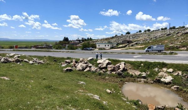
Sivas 12 Kızılırmak-Ulaş Land Consolidation Project
Sivas 12 Kızılırmak-Ulaş Land Consolidation Project
Sivas 13 Uzunyayla Land Consolidation Project
Sivas 13 Uzunyayla Land Consolidation Project
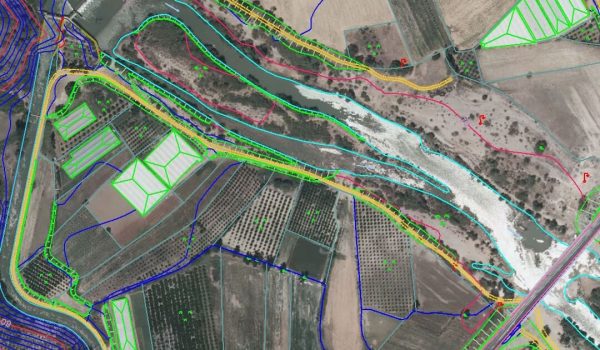
Antalya Aksu Stream Flood Protection Part 2 Project
Antalya Aksu Stream Flood Protection Part 2 Project
South Marmara Land Consolidation Project And Improvement of On-Farm Roads
South Marmara Land Consolidation Project And Improvement of On-Farm Roads
Antalya-Serik 1st Part Land Consolidation Project
Antalya-Serik 1st Part Land Consolidation Project
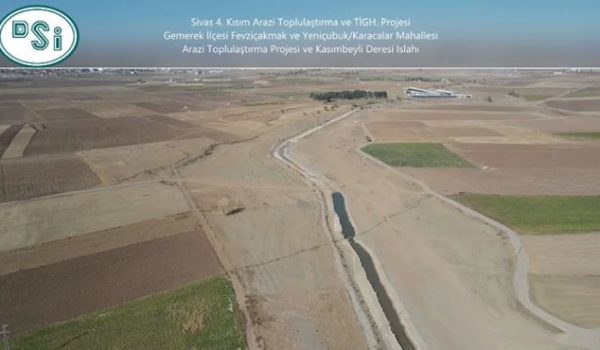
Sivas 4th Part Land Consolidation Project
Sivas 4th Part Land Consolidation Project
Go to Top