The Magical Combination of Technology, Science and Art…

By remodeling in digital environments from images taken superimposed via photogrammetry, manned/unmanned aerial vehicles equipped with special image-taking equipment, or imaging satellites; It can be described as providing referencing according to the earth coordinate system and collecting the required data after obtaining a 3D image. Photogrammetry; It is used in a wide range of areas, from the production of baseline maps to the creation of digital elevation models, from the production of true orthophotos and city models to flood simulations.
Körfez Engineering Surveying produces economical solutions according to different project scales and requirements; It provides all the photogrammetric engineering processes needed by its customers on a turnkey basis, from the beginning to the final project, with images obtained from UAVs, aircraft or imaging satellites.
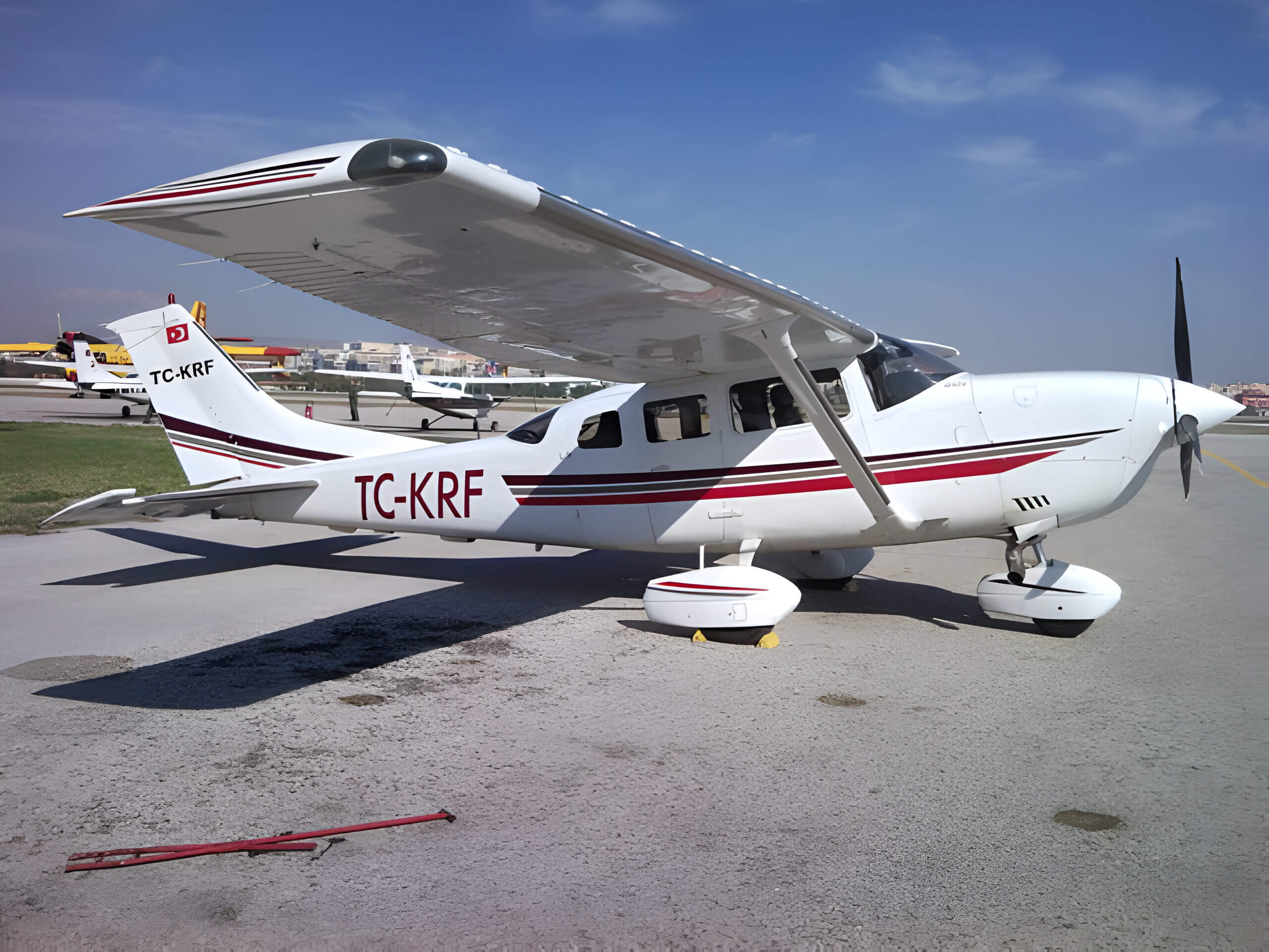
Körfez Engineering Surveying continues to fulfill all kinds of projects in every corner of the world, providing one hundred percent customer satisfaction, by blending its personnel experience, scalable employment power, software and hardware richness, and fully equipped TC-KRF aircraft with more than 40 years of experience.
Our Services
- Aerial Imagery (Aircraft & UAV)
- Supply of Satellite Images
- Geodetic Planning for Photogrammetric Triangulation Purposes
- Photogrammetric Triangulation
- Digital Photogrammetric Map Production (Any Scale)
- Digital Elevation and Terrain Model Production
- Orthophoto and True Orthophoto Production
- 3D Terrain Modeling and Flight Simulation
- 3D Cadastre and City Model
- Airports Obstacle Detection
- Hyperspectal Imaging
- Thermal Mapping
- Noise Map Production
- Terrestrial Photogrammetry Applications
- Historical etc. Surveying and Modeling of Buildings
and more…
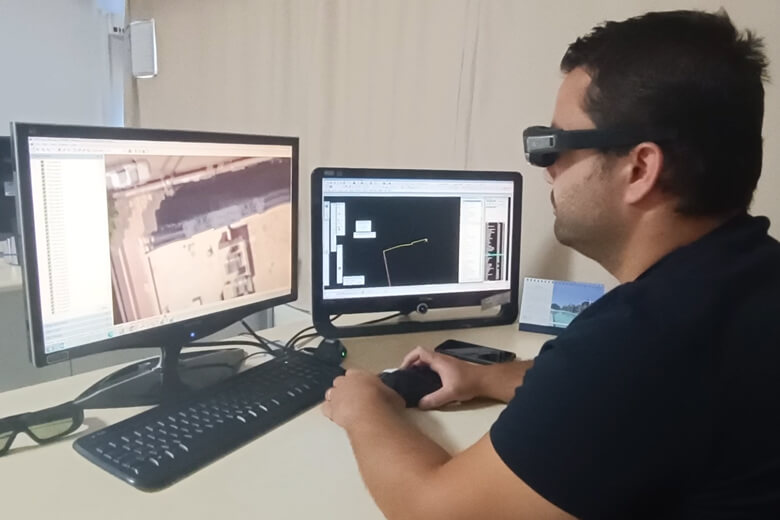
Hardware & Software
- TC-KRF – Cessna T206 H Piston Engine Airplane
- ULTRACAM X – Large Format Multispectral Aerial Camera
PHASEONE IXM-RS150F RGB Aerial Camera
- SOMAG AG JENA GSM 3000 Mount
- APPLANIX Flight Management System
- DELL POWEREDGE R730 Server
- 250 TB NETGEAR & QNAP Online Storage Unit
- 250 TB Offline Storage Unit
- HP Z820 Workstations
- Stereo Photogrammetric Workstations
- Desktops and Laptops
- TRACKAIR Flight Planning Software
- APPLANIX+POSPAC MMS Flight Management Software
- ULTRAMAP Photogrammetry Post-Processing Software
- iX CAPTURE Photogrammetry Post-Processing Software
- ERDAS IMAGINE Remote Sensing Software
- INPHO Photogrammetric Triangulation and Compensation Software
- LPS Photogrammetric Supported Drawing Software
- MICROSTATION CAD Software
Gallery