High Accuracy Location with Digital Technology…

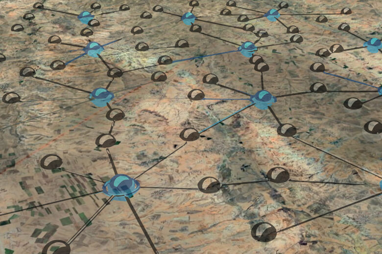
Geodesy is a discipline that deals with the definition of three-dimensional coordinate systems for measuring the earth and other celestial bodies, together with the gravitational field, in three-dimensional and time-variable space, and the design, measurement and mapping of geodetic networks with these coordinate systems. It is a branch of engineering science that defines 4-dimensional (X, Y, Z, T) precise coordinate systems on the earth and in its outer space by modeling the earth, creates reference networks, associates spatial information with these networks and systems, and monitors their changes over time.
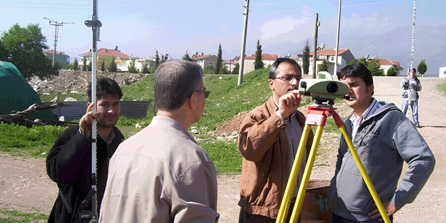
Körfez Engineering Surveying, using the latest technological space and terrestrial measurement systems and current computing technologies; Design of leveling networks, geoid determination, formation and positioning of urban areas, determination of land boundaries, measurement of characteristic areas such as military, touristic, sea, forest, mine, treasury and pasture, mapping studies, highway construction and measurements, underground and underwater studies ( In the field of Geodesy, which has dozens of application areas such as oil and natural gas exploration), measurements required for bridge, subway and dam construction, deformation measurements, power plant survey studies and natural disaster prevention studies; It continues its services with its important project references and experienced Geodesy Department.
Our Services
- Map Services
- Geodetic Measurements and Engineering Services
- GPS&GNSS Measurements
- Geoid Determination
- Design of Leveling Networks
- Deformation Measurements
- Length Section, Cross Section, Application, TUS
- Land Gravity Measurements, Processing and Balancing
- Absolute Gravity Measurements
- Magnetic Measurements
- Isohips Maps
- Triangle Models
and more…
Hardware & Software
- LEICA GEOSYSTEMS GPS Receiver and Equipment
- Total Station Devices and Hardware
- Digital Level Devices and Equipment
- ZEB HORIZON LIDAR and Equipment
- DELL POWEREDGE R730 Server
- 250 TB NETGEAR & QNAP Online Storage Unit
- 250 TB Offline Storage Unit
- HP Z820 Workstations
- Desktops and Laptops
- Wireless and Online Communication Devices
- Printers
- Plotters
- Photocopy Machines
- Passenger Vehicles
- Off-Road Vehicles
- LEICA GEO OFFICE Software
- NETCAD Software and Add-ons
- MICROSTATION CAD Software and Plugins
- Land Consolidation Software
- Cadastral Services Software
Gallery


