In line with our innovative approach to geospatial technologies, our R&D activities are continuously ongoing.
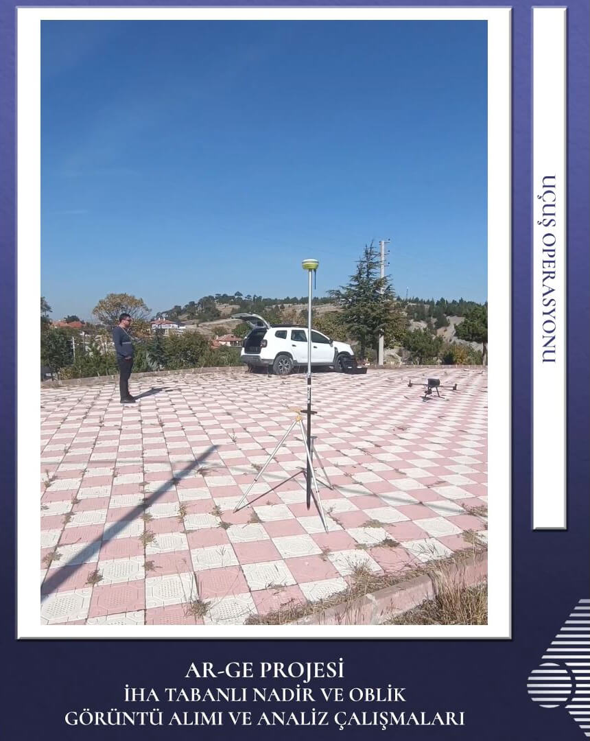
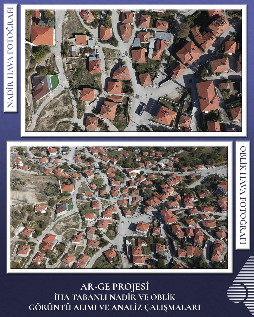
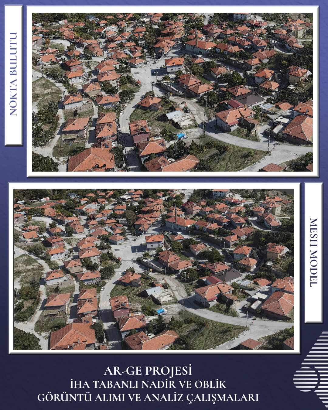
Within the scope of this study, high-resolution aerial photographs have been acquired from vertical (nadir) and slanted (oblique) angles using Unmanned Aerial Vehicles (UAVs). To meet diverse sectoral requirements and enhance data quality and spatial accuracy, the development of high-density point clouds and detailed 3D mesh models is targeted. The integration of nadir and oblique image data minimizes geometric detail losses, particularly on vertical surfaces, thereby offering more comprehensive photogrammetric analysis capabilities. This methodological approach optimizes operational workflows in terrain modeling, urban mapping, architectural surveying, and engineering applications.
Workflows and methodologies, ranging from field data acquisition to data processing phases, are continuously tested and evaluated. Research is conducted to identify practical methods that enhance data accuracy and processing efficiency, as well as to expand the sectoral applicability of the implementation.
Future mapping technologies will continue to be integrated into our processes to develop high-precision solutions.