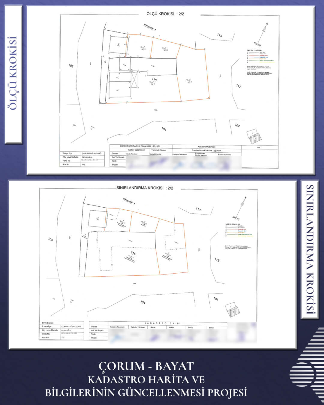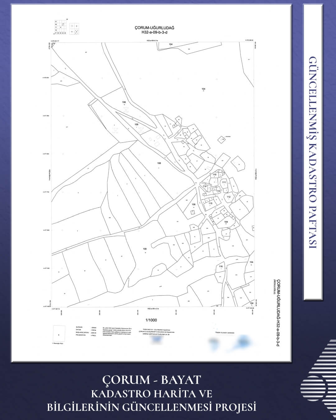

Within the scope of the Land Management Infrastructure for Green and Sustainable Development Project (AYAP), we have successfully completed the “Cadastral Map and Information Update Work under Tender Package No. 22-22 (CRM-BYT),” located in the area of jurisdiction of the Yozgat 22nd Regional Directorate!
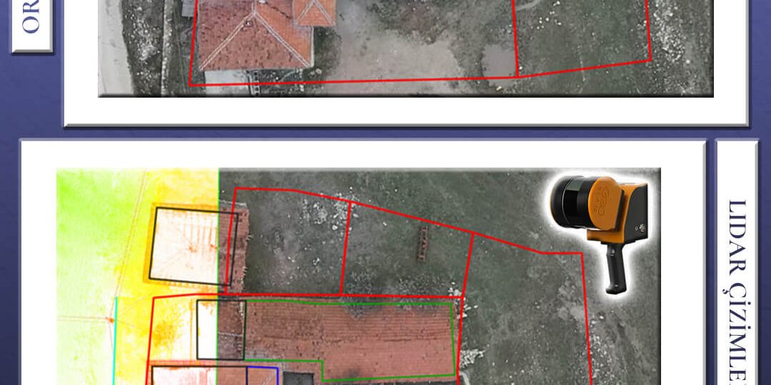
We have performed the provisional acceptance procedures for our project, which consists of 60,886 parcels and was completed using a hybrid engineering approach that integrates Aerial Photogrammetry (Aircraft and UAV), Mobile LiDAR, and the intensive field and office work of our teams.
We continue to add value to our country’s infrastructure through high-precision and sustainable land management solutions that reinforce property ownership security. We extend our sincere gratitude to all team members and stakeholders involved for their dedication and hard work.