
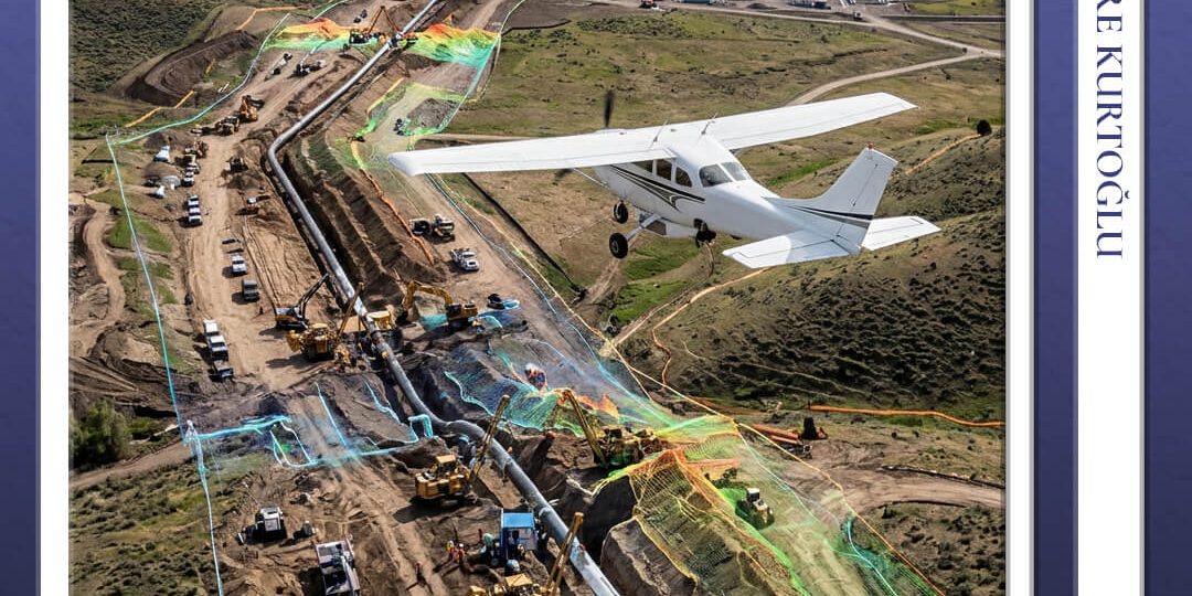
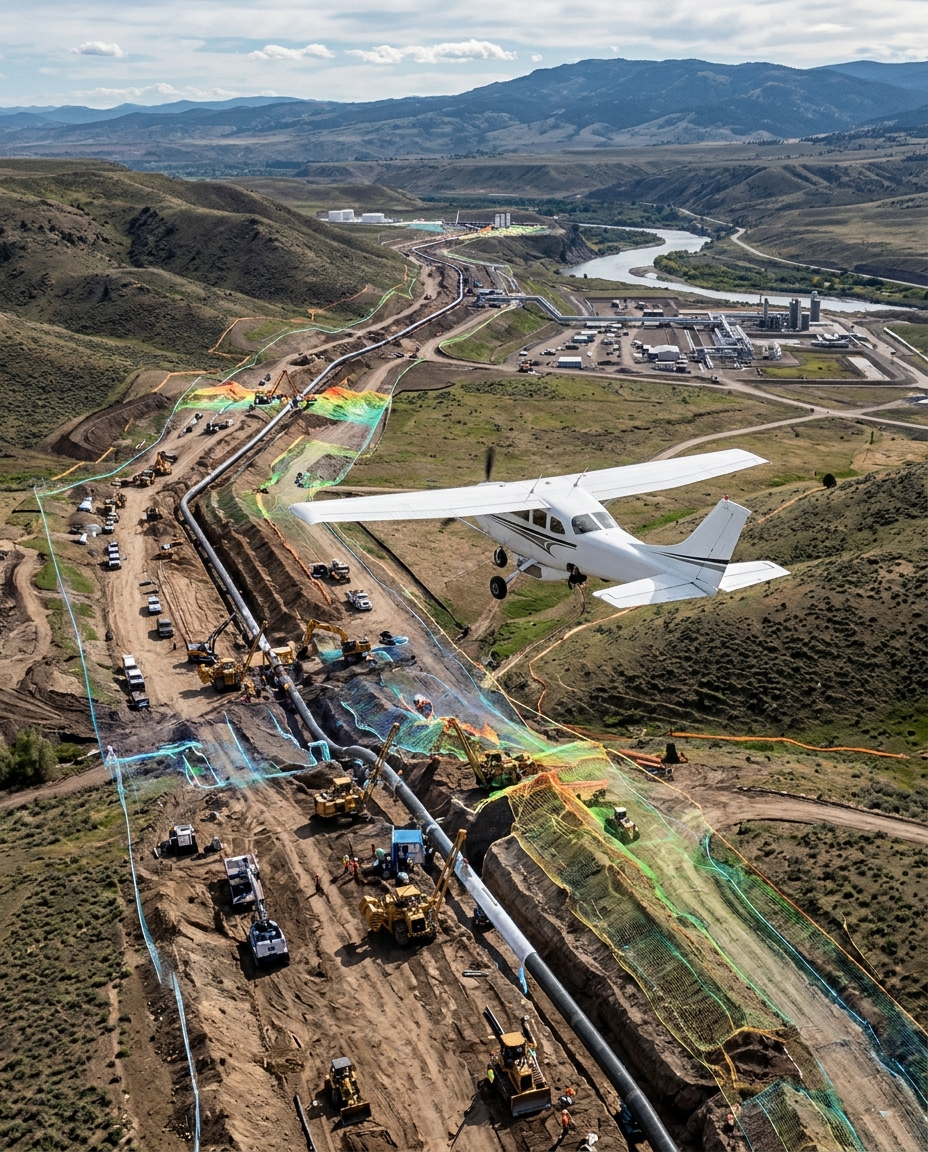
In recent years, the construction industry has emerged as one of the primary sectors experiencing intense digitalization and spatial data integration. As a key enabler of this transformation, Körfez Harita accelerates digital integration across projects through its innovative construction mapping solutions. High-precision mapping workflows—conducted using aircraft, unmanned aerial vehicles (UAVs/drones), and terrestrial surveying technologies—deliver substantial savings in time, labor, and overall costs during project planning, excavation, execution, and as-built verification stages.
Areas of Application for Photogrammetric Mapping in Construction Projects
Körfez Harita’s construction mapping technologies generate tangible value across every phase of the construction and infrastructure project lifecycle:
-
Pre-Project Topographic Surveying: Swiftly establishes the site’s existing topography, supplying design teams with up-to-date baseline geospatial data.
Volume and Earthwork Calculations: Accurately computes excavation and embankment (cut-and-fill) volumes via Digital Surface Models (DSMs).
Periodic Progress Monitoring: Captures regular site flights to systematically identify variances between planned schedules and actual on-site assembly.
As-Built Documentation: Documenting the final, post-construction status of structures and surrounding terrain for seamless integration into registration dossiers.
Efficient Jobsite Management with Körfez Harita
Time represents the single most critical cost parameter in construction. Topographic surveys that historically took days using traditional methodologies are completed in mere hours through Körfez Harita’s advanced mapping solutions. Work Health and Safety (WHS / HSE) standards are strictly maintained at elevated levels, as data is collected remotely without requiring personnel to enter hazardous slopes, excavation pits, or active machinery zones.
Through the company’s structured periodic reporting services, project managers, clients, and investors gain transparent visual and quantitative oversight of current jobsite progress. Earthwork volume metrics utilized in interim payment certificates (progress billings) are shared impartially, proactively preventing administrative and financial disputes. All deliverables are provided in formats fully compatible with Building Information Modeling (BIM) and CAD platforms (such as Orthophotos, Point Clouds, DTM/DSM, and DXF).
Advanced Technological Infrastructure
Körfez Harita serves construction firms backed by an experienced engineering team and a fleet of high-specification survey equipment. The firm integrates aerial camera aircraft, as well as RTK (Real-Time Kinematic) and PPK (Post-Processed Kinematic) enabled drone platforms with Ground Control Points (GCPs), to deliver exceptional spatial accuracy.
Technical Competency Comparison Matrix
| Parameter | Körfez Harita Advanced Mapping Solutions | Traditional Surveying Methods |
| Data Acquisition Speed | ~2,000 – 3,000+ Hectares per day | ~10 – 20 Hectares per day |
| Spatial Precision | < 3 cm GSD | Point-dependent / Variable |
| Occupational Health & Safety Risk | Zero Risk (No entry into high-risk zones) | High Risk (Hazardous slopes & deep excavations) |
Proven Track Record in Large-Scale Infrastructure and Corridor Projects
Körfez Harita has assumed critical operational responsibilities not only on local construction sites but also across gigascale international infrastructure ventures. The company’s large-area data collection and photogrammetric processing capacity was demonstrated during the Baku-Tbilisi-Ceyhan (BTC) Crude Oil Pipeline Aerial Photography and Orthophoto Map Production Project. The execution of high-resolution aerial imaging, orthophoto mapping, digital elevation models (DEM/DTM), and safety risk analyses across hundreds of kilometers of strategic corridors clearly highlights the firm’s engineering capabilities in mega-scale projects.
You can examine the details of our BTC Project on our official site.
A Strategic Partner for Your Projects
For enterprises seeking speed, cost control, precision, and uncompromised site safety, Körfez Harita stands as a reliable, robust solution partner. To leverage the competitive advantages of the digital era in your projects, request a proposal, or receive technical consulting, contact us via the Körfez Harita Contact Page.
Frequently Asked Questions (FAQ)
What data deliverables does construction drone mapping provide?
It provides high-resolution orthophoto maps, 3D point clouds, Digital Surface and Terrain Models (DSM/DTM), contour line maps, precise earthwork volume calculations, and periodic progress tracking reports.
Does Körfez Harita conduct periodic flights on construction sites?
Yes. Depending on project scale and workflow requirements, Körfez Harita delivers periodic aerial surveys to support progress tracking and visual site archiving.
Are photogrammetric survey measurements legally valid for interim payment certificates (progress billing)?
Yes. High-accuracy digital terrain models and volumetric calculations derived from RTK/PPK workflows anchored by ground control networks are fully qualified for cut-and-fill verification in progress billing procedures.
Which software platforms are compatible with the generated data?
All deliverables are produced in formats (.las, .dxf, .tiff, .shp, .ncz) engineered for seamless import into Netcad, AutoCAD Civil 3D, ArcGIS, QGIS, and various BIM ecosystems.
Emre Kurtoğlu
Emre Kurtoğlu graduated from Selçuk University with a degree in Geomatics Technician in 2007 and launched his professional career that same year as a Geomatics Technician at Körfez Engineering Surveying Co. Serving as Coordinator at Baymap Aviation Co.—a Körfez Group company—since 2013, he has successfully organized over 400 engineering flight operations. Kurtoğlu currently serves as the General Coordinator across the Administrative and Aviation Departments at Körfez Engineering Surveying Co.