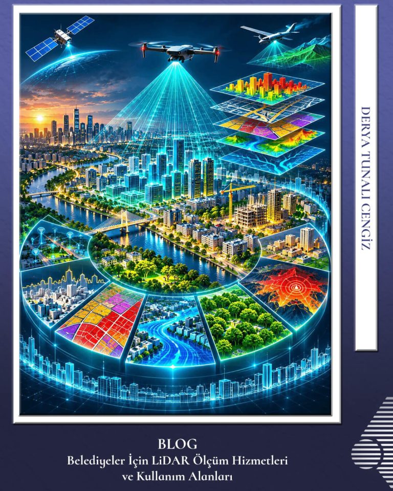
LiDAR Surveying Services and Application Areas for Municipalities
LiDAR (Light Detection and Ranging) is an advanced remote sensing technology that measures the travel time of laser pulses to generate high-precision, three-dimensional models of the Earth’s surface and the structures upon it. Combining deep engineering expertise, an advanced hardware fleet, and extensive project experience, Körfez Harita delivers end-to-end LiDAR surveying services that empower municipalities…