| PROJECT CATEGORY | : PHOTOGRAMMETRY & GIS & LIDAR PROJECTS |
| CODE | : PGL0073 |
| EMPLOYER | : DASK |
| YEAR | : 2015 |
| PROJECT AREA | : 2489406.68 ha |
| FLIGHT LENGHT | : 48066.07 km |
DESCRIPTION |
|
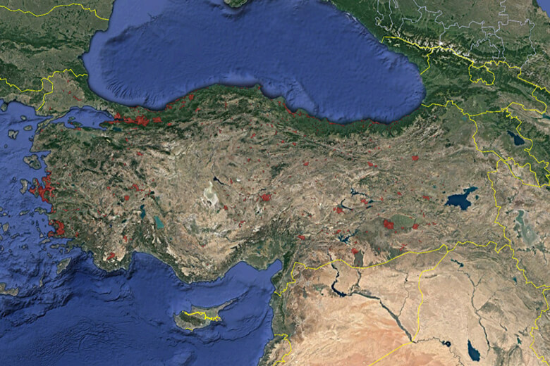
| Financed by the Natural Disaster Insurance Institution (DASK), covering 60% of the provincial and district centers in Turkey; Our True Orthophoto Project, in which we installed and measured the photogrammetric ground control points of 625 settlement centers, took aerial photographs with our TC-KRF and TC-KFZ registered aircraft and Vexcel UltracamX digital aerial cameras, and completed their photogrammetric balancing, was delivered. | |