| PROJECT CATEGORY | : PHOTOGRAMMETRY & GIS & LIDAR PROJECTS |
| CODE | : PGL0072 |
| EMPLOYER | : JEO-TEK LTD. |
| YEAR | : 2015 |
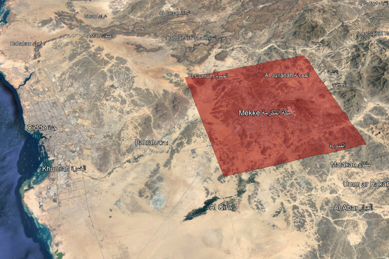
| PROJECT AREA | : 182869.65 ha |
| FLIGHT LENGHT | : 1536.41 km |
DESCRIPTION |
|
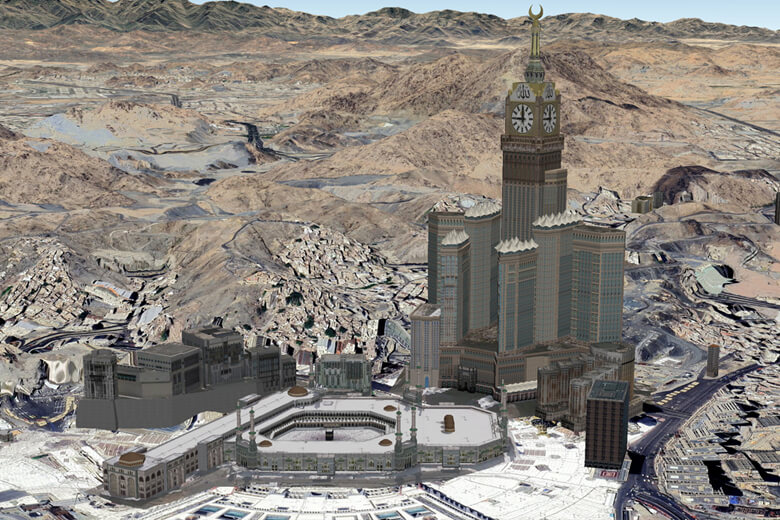
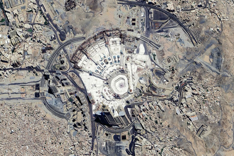
| Our project, where we took aerial photographs with our TC-KFZ aircraft and UltracamX aerial camera, at the Jeddah flight operation center; Photogrammetric balancing, digital elevation and terrain model production, orthophoto production works were completed and delivered at the General Commission for Survey (GCS) Riyadh headquarters. | |
Saudi Arabia-Makkah Orthophoto Production