| PROJECT CATEGORY | : PHOTOGRAMMETRY & GIS & LIDAR PROJECTS |
| CODE | : PGL0124 |
| EMPLOYER | : HARİTAEVİ AVIATION ENG. INC. |
| YEAR | : 2021 |
| PROJECT AREA | : 763963.90 ha |
| FLIGHT LENGHT | : |
DESCRIPTION |
|
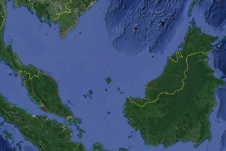
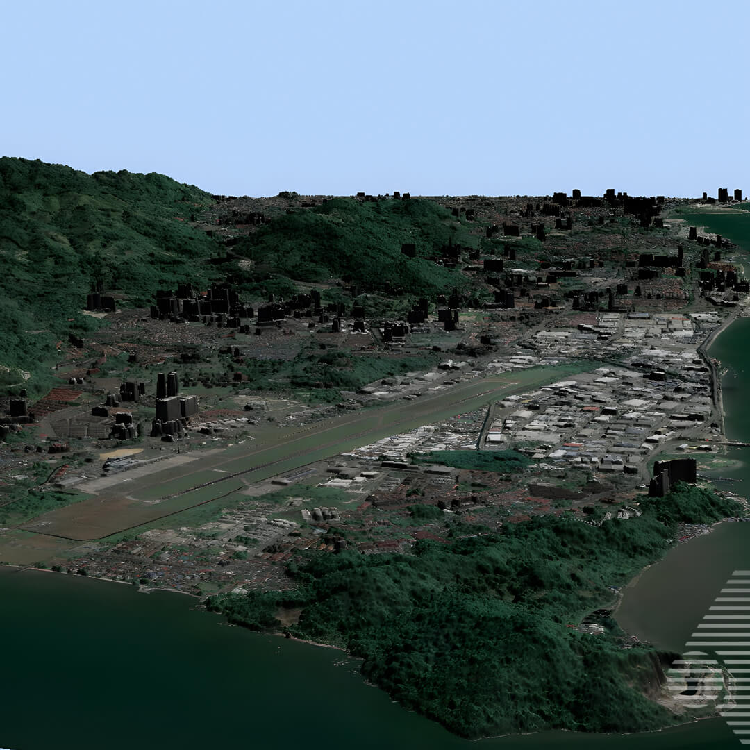
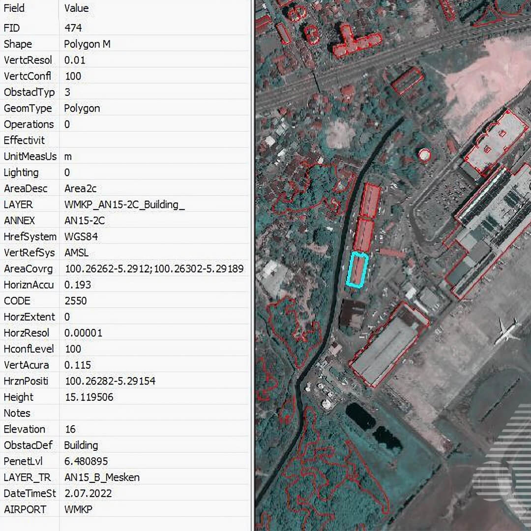
| MALAYSIA eTOD (Electronic Analysis and Obstacle Data) PROJECT, for which we started R&D studies in 2021 and carried out satellite photogrammetry and data production studies for 19 airports; Orthophoto Production, DEM and SAM Production, Surface Analysis, Photogrammetric Valuation and GIS (data analysis – data entry) Works have been completed and delivered. | |
Malaysia e-TOD Project (Orthophoto, DEM, DTM Production From Airbus And Maxar Satellite Images; Surface Analysis, Photogrammetric Map And GIS Works)