| PROJECT CATEGORY | : PHOTOGRAMMETRY & GIS & LIDAR PROJECTS |
| CODE | : PGL0066 |
| EMPLOYER | : TÜBİTAK |
| YEAR | : 2014 |
| PROJECT AREA | : 14000.00 ha |
| FLIGHT LENGHT | : 497.86 km |
DESCRIPTION |
|
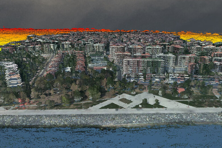
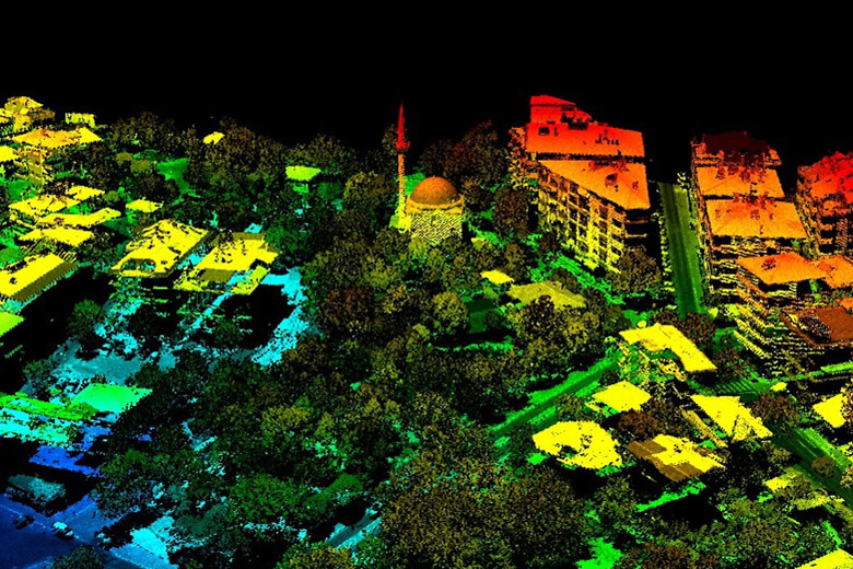
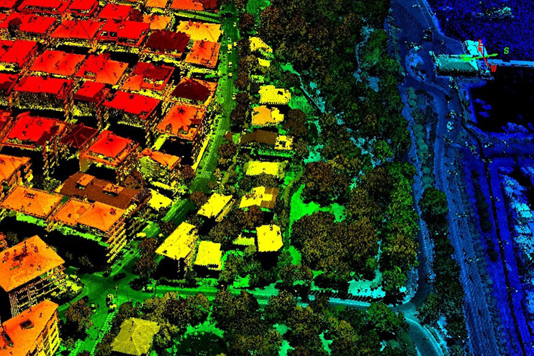
| The project of TÜBİTAK MAM, Earth and Marine Sciences Research Institute to create a high-resolution digital elevation model with LIDAR data taken from the aircraft for monitoring possible landslide areas of the 140 km² area between Büyükçekmece and Küçükçekmece lakes, within the borders of Istanbul Metropolitan Municipality, has been completed. | |
Dtm Production With Lidar Sensor And Orthophoto Production For Earhquake Analysis Between İstanbul K.Çekmece And B.Çekmece Lakes