| PROJECT CATEGORY | : CADASTRE PROJECTS |
| CODE | : CAD0029 |
| EMPLOYER | : GEN. DIR. OF. LAND REG. & CADASTRE |
| YEAR | : 2021 |
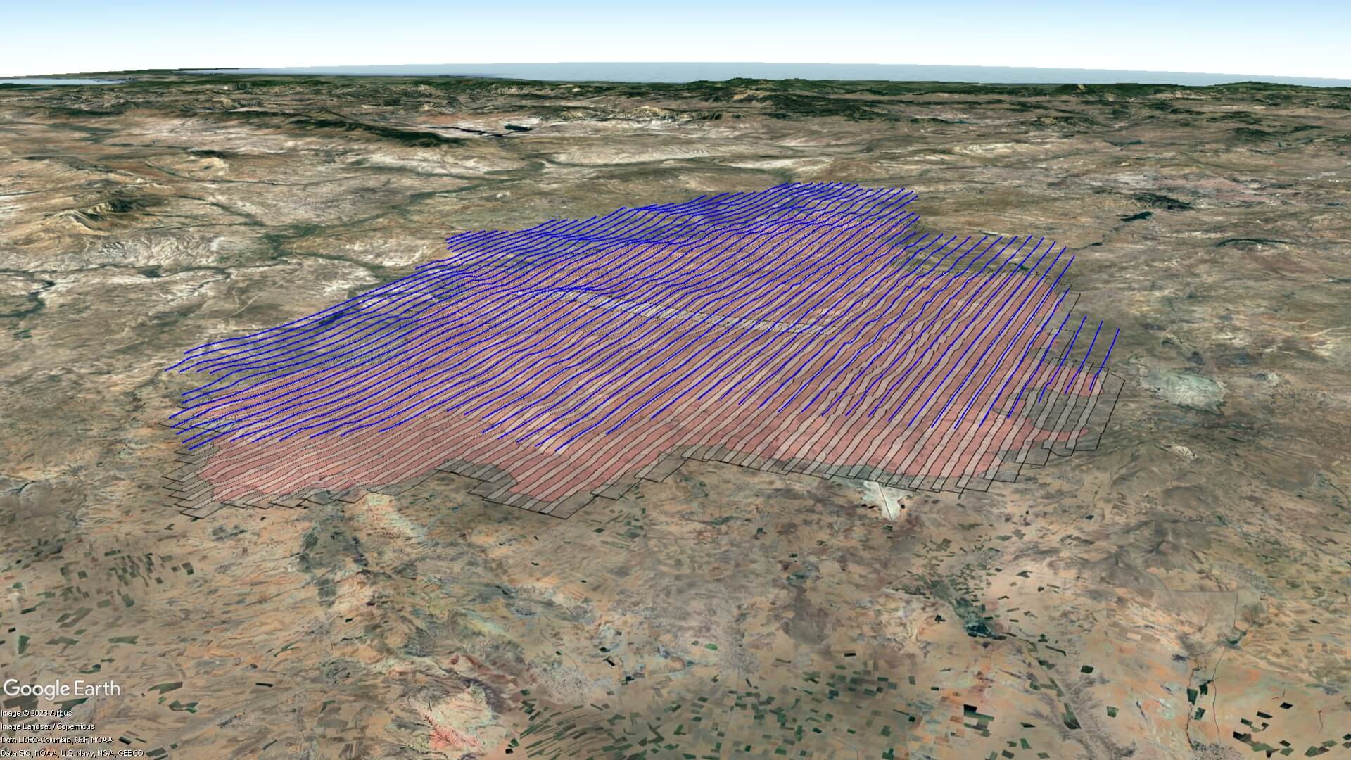
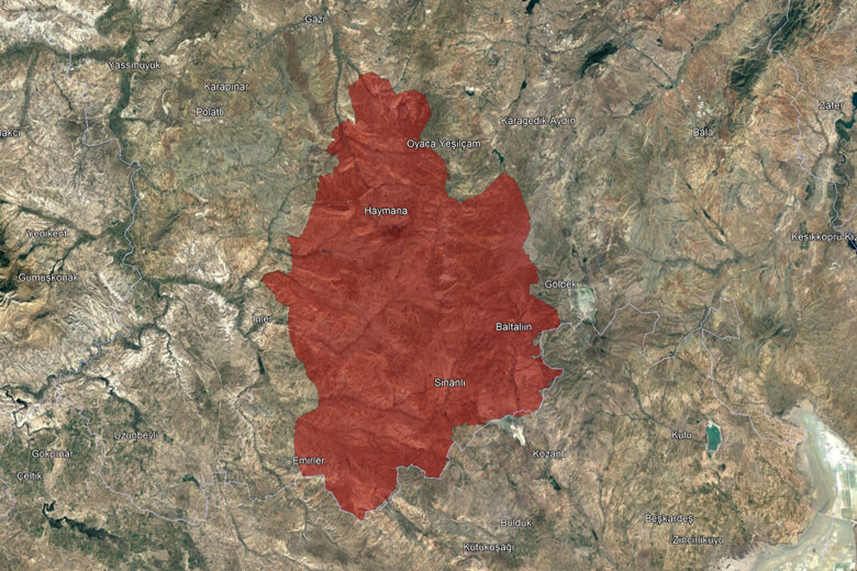
| PROJECT AREA | : 277045 ha |
| FLIGHT LENGHT | : 2468 km |
DESCRIPTION |
|
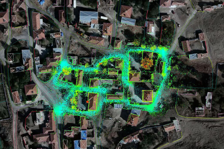
| The Ankara-Haymana II Cadastral Map and Information Updating Project (ANK-HYN II), in which we took aerial images with our aircraft and digital aerial cameras and used mobile LIDAR technology in all residential areas, has been completed. With our ANK-HYN I project, our projects to update cadastral maps and information in a total of 76 villages and neighborhoods and 91370 parcels were delivered. | |