| PROJECT CATEGORY | : PHOTOGRAMMETRY & GIS & LIDAR PROJECTS |
| CODE | : PGL0088 |
| EMPLOYER | : GEN. DIR. of STATE HYDRAULIC WORKS |
| YEAR | : 2016 |
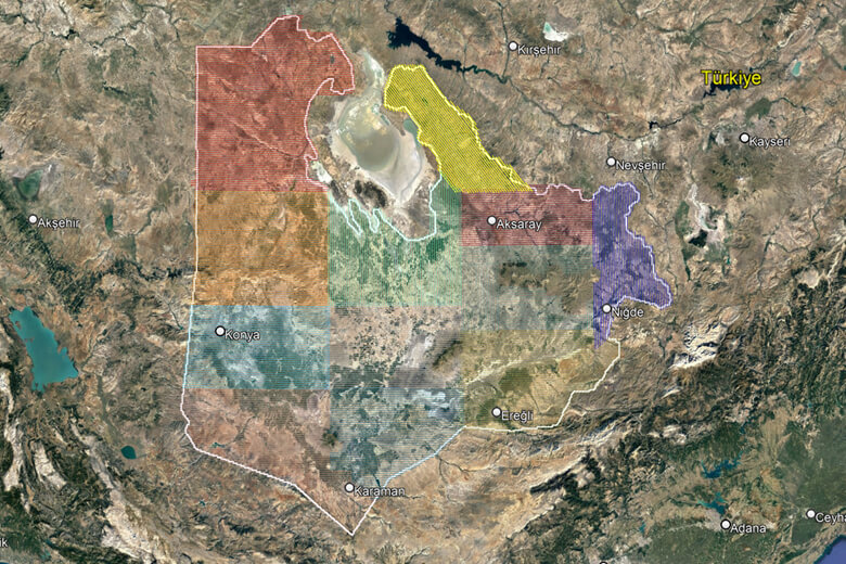
| PROJECT AREA | : 3402838.56 ha |
| FLIGHT LENGHT | : 35608.62 km |
DESCRIPTION |
|
| Korfez Mapping Planning’s geodesy, flight and photogrammetry teams, which have high awareness of the importance of water resources management and sustainable agriculture; We completed this project, which is unique in the world in terms of the size of the project area and flight hours, with near-perfect coordination and high dedication; It was completed in record time by prioritizing the values of respect for the environment and social benefit. | |