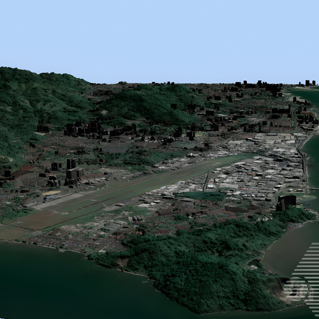
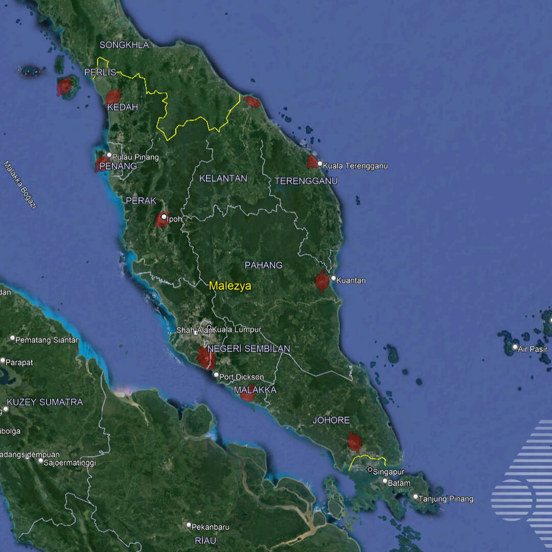
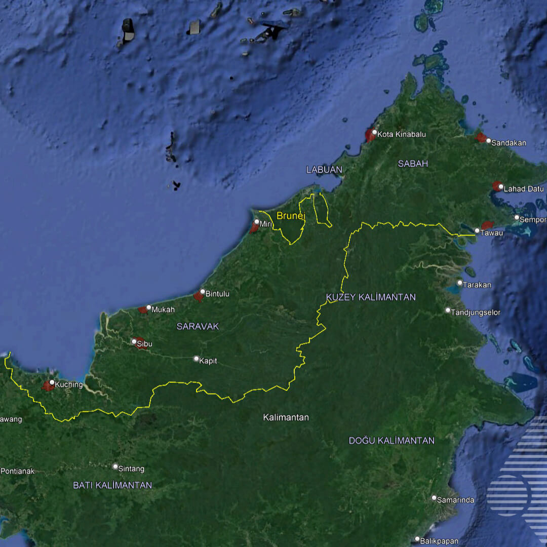
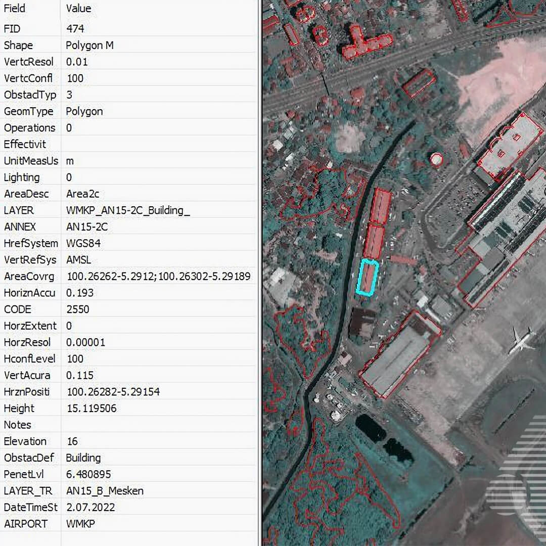
We are happy to announce the completion of the MALAYSIA eTOD (Electronic Analysis and Obstacle Data) PROJECT, for which we started R&D studies in 2021 together with Haritaevi Aviation Engineering Inc., where we carried out satellite photogrammetry and data production studies for 19 airports.
We would like to thank the Haritaevi family for choosing us and for their highly compatible cooperation in Satellite Photogrammetry, Orthophoto Production, DEM and SAM Production, Surface Analysis, Photogrammetric Valuation and GIS (data analysis – data entry) works.