| PROJECT CATEGORY | : PHOTOGRAMMETRY & GIS & LIDAR PROJECTS |
| CODE | : PGL0125 |
| EMPLOYER | : GEN. DIR. OF. LAND REG. & CADASTRE |
| YEAR | : 2022 |
| PROJECT AREA | : 44129.70 ha |
| FLIGHT LENGHT | : |
DESCRIPTION |
|
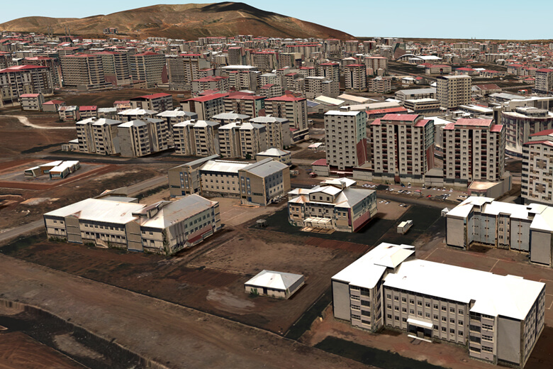
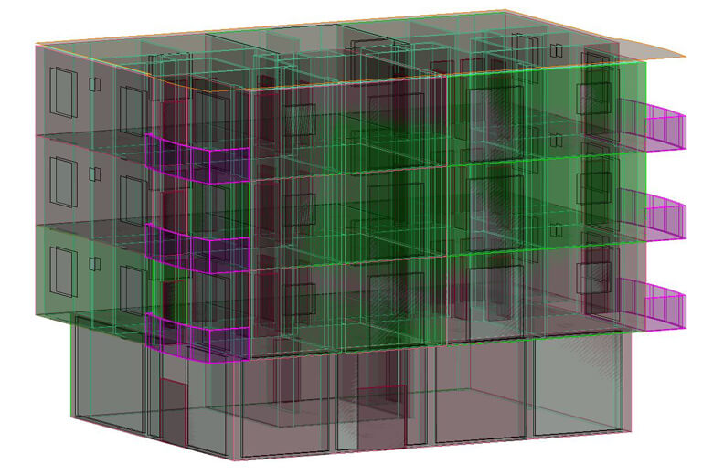
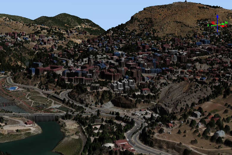
| In the provinces of Muş, Bingöl, Adıyaman and Tunceli; In our project that nadir and oblique aerial photographs were taken by TKGM (General Directorate of Land Registry and Cadastre), covering 1168 1/1000 scale sheets and 9793 architectural projects; photogrammetric triangulation, production of elevation models, true orthophoto production and 3D modeling photogrammetric works; drawing of architectural projects, association with TKGM data, gml transformations and integration of MAKS data have been completed. | |
Production of 3D City Models And Creation of 3D Cadastral Bases (Part XXI - Muş, Bi̇ngöl, Adıyaman, Tunceli) Project